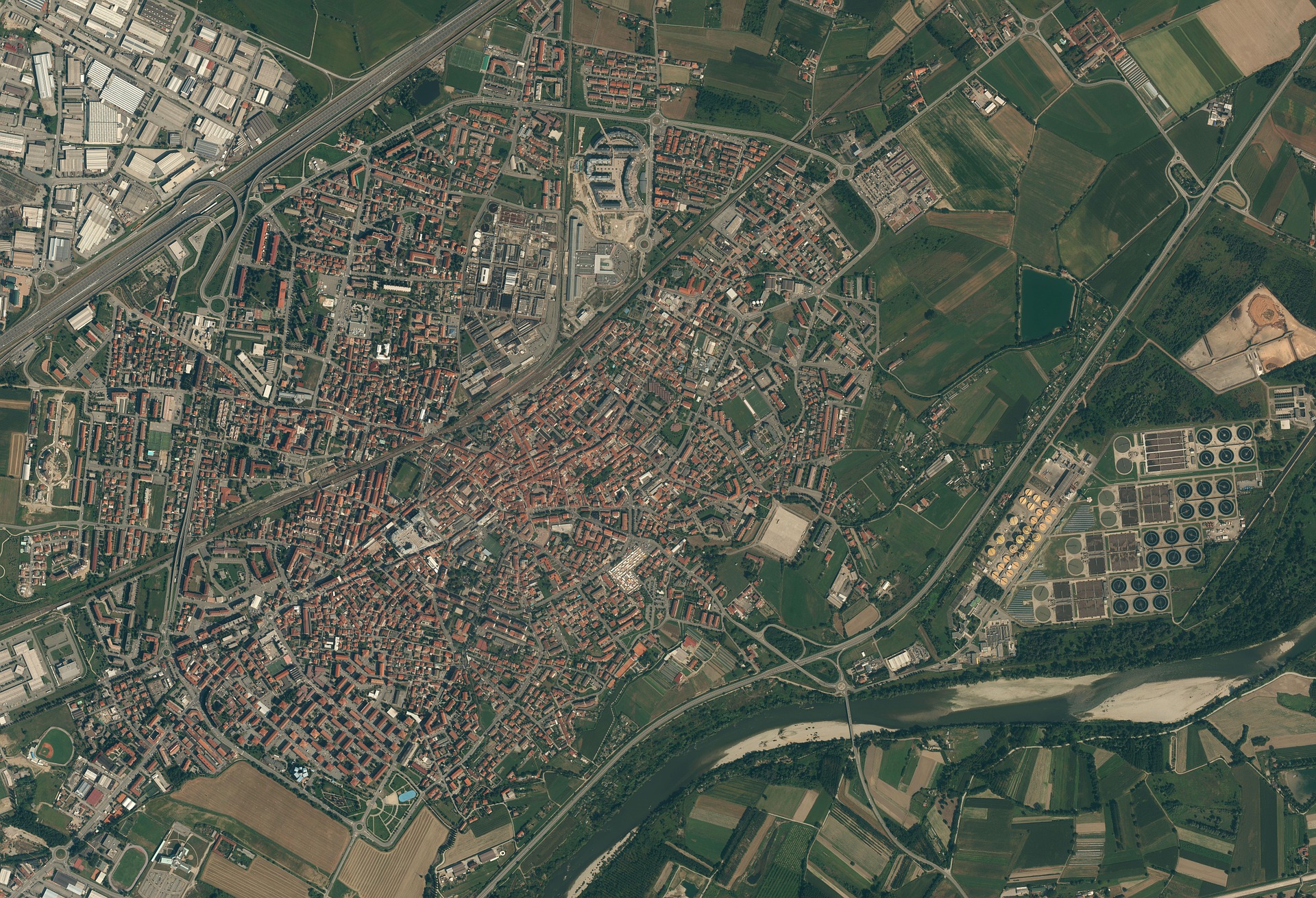
Data and Method
Satellite images from Google Earth and positron (no label) basemap from CartoDB are used as input datasets. And CycleGANs is implemented to train the model and generate fake satellite images.
Training Process

Some results during training process. After the first epoch, the training model can learn and generate some geometric features. More details can be captured and created as the number of epoch increases.
Imaginary City
Fake datasets with ‘learned’ style from three big cities are generated through CycleGAN in Corvallis. It seems GANs can ‘remember’ a certain ‘sense of place’ and further apply that ‘sense’ to another place.