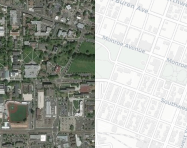
Data
Satellite images from Google Earth and positron (no label) basemap from CartoDB are used as input datasets in this study. Positron basemaps from CartoDB are developed based on data from OpenStreetMap.Satellite images and map are collected as raster tiles.
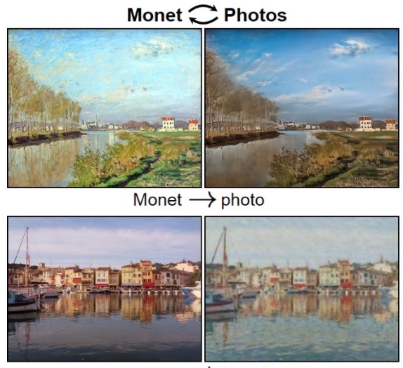
CycleGAN
CycleGAN was used to reconstruct the satellite imagery from its basemap tiles for three typical cities in the world: New York City, Seattle and Beijing. Adversarial losses and cycle consistency losses are applied to mapping functions.Click Citation for more details.
City style transfer
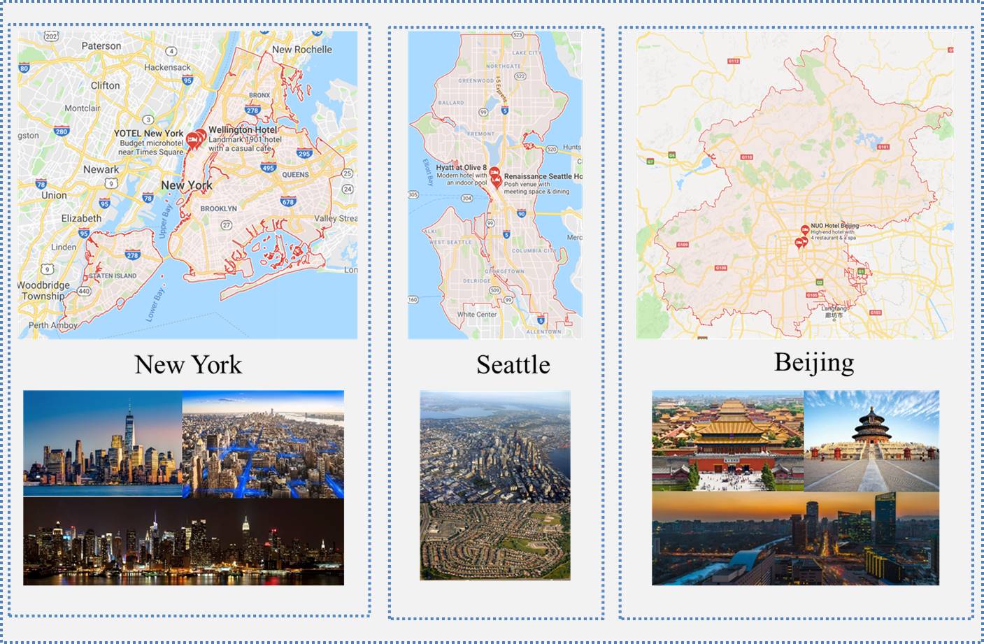
It is assumed in this study that these three cities have different urban styles.As the center of the New York metropolitan area, New York City is the most populous urban agglomerations with a modern style, while buildings in Seattle have relatively low heights even in the urban center. Beijing is a hybrid of historical and modern style, with most urban area has been covered with tall buildings and new architectures.